
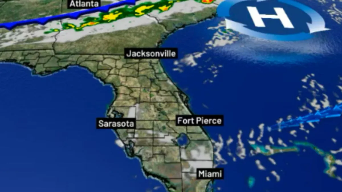
A deep trough of low pressure will form in the jet stream and center over the eastern US shoreline. The upper air feature’s surface reflection will be a cold front that sinks south. This front may deliver greater hail and gusty winds in severe thunderstorms. However, that risk will continue in north Florida. By the time the front arrives late tonight, we’ll be lucky to get a sprinkle or two.
Winds will increase up behind the front, and a brisk wind on Saturday may affect any activity involving the wind/water link, such as boating, swimming, kite surfing, and fishing. The wind will also bring in significantly drier air during the weekend.
The dry air will aid in lowering the nighttime air temperature. Early Sunday and Monday morning temperatures will be in the upper 50s. The daytime highs on Saturday and Sunday will remain in the mid to upper 70s. Beginning Monday, temperatures will rise again into the 80s.
After the front passes, a broad area of high pressure will form, and the rain chances will fade. Showers are unlikely to occur for another week.