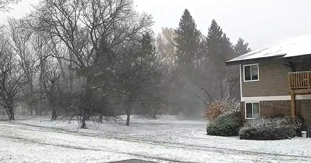
A weakening weather system is moving through the Ohio Valley and will encounter the leftover cold air in the Northeast. As a result, Winter Weather Advisories have been issued for Northeast Pennsylvania, Northwest New Jersey, the Lower Hudson Valley, and the western half of Connecticut. The advisory warns of a wintry mix of precipitation overnight, which will create icy conditions on roadways and sidewalks. This could make travel challenging and potentially dangerous, especially during the Monday morning commute. However, the urban centers of NYC, Philadelphia, and Long Island are not currently under advisory. In addition, Winter Storm Warnings and Winter Weather Advisories have been issued for the Central Appalachians, extending as far south as Western North Carolina. The mountains of West Virginia and Southwest Pennsylvania are expected to experience significant icing issues.
Temperatures this morning have dropped to the teens and low 20s in areas away from urban centers, making it challenging to dislodge the cold air. A warm front is currently moving through the Ohio Valley, and precipitation can already be seen moving eastward on regional and local radars. Throughout the day, clouds will be on the rise, and high temperatures will remain mostly in the low to mid-30s in regions where advisories are in effect. Outside of the advisory zone, highs are expected to reach the upper 30s and lower 40s. Tonight, rain is expected for coastal counties in New Jersey, Connecticut, and Long Island. Inland areas will experience some snowfall, which will gradually transition into a mix of light snow and freezing rain, and ultimately become freezing rain.
Snow accumulation inland is expected to be minimal, ranging from just a coating to an inch at most. As the precipitation transitions to freezing rain, colder surfaces, particularly in inland valleys, may become glazed overnight due to trapped cold air. Although this is not a significant icing event, roads are likely to become slick and glazed. The estimated ice accretion will generally be less than a tenth of an inch, with most places experiencing less than .05 inch.
On Monday, a warm front will be making its way through the area. After the morning precipitation comes to an end, we can expect a cloudy sky. Later in the day, a second round of rain or showers will arrive ahead of a cold front. By Tuesday morning, the rain will mostly dissipate as the cold front moves offshore. High temperatures on Monday will vary, ranging from the low 40s north of NYC to the low 50s south of Philadelphia. As the cold front passes through and moves offshore on Tuesday morning, we can anticipate increasing amounts of sunshine, accompanied by a northwest wind and relatively warm temperatures. Since there won’t be much cold air behind the front, temperatures are likely to reach the upper 50s and lower 60s throughout the area, thanks to the dry northwest wind.
The cold front that was expected on Tuesday has stalled just south of our location. However, there is another wave of low pressure moving along this frontal boundary, which will bring some changes for Wednesday. We can expect a transition from sunny skies to increasing clouds throughout the day. Despite the cloud cover, temperatures will still remain above average, with highs reaching the low to middle 50s. Wednesday night into Thursday, we may experience some rainfall, followed by a slight decrease in temperatures. Looking ahead to late next week and into the following week, a low-pressure system will be moving southeast from Canada, accompanied by an arctic cold front trailing behind it. This weather pattern is likely to result in the development of a storm to the east and northeast by Friday and over the weekend. Additionally, this system will bring a surge of cold air, which will persist into the next weekend and potentially extend into Christmas week.


Leave a Reply