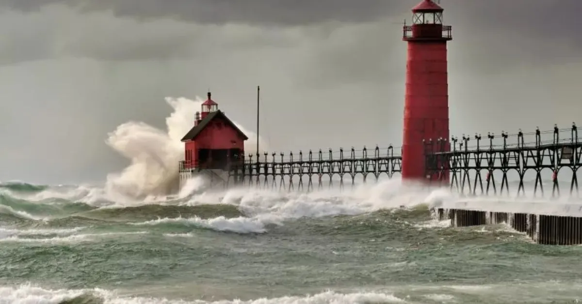
A major storm is brewing over the Great Lakes region this week, bringing the possibility of the season’s first heavy snowfall in portions of the Northeast, as well as gusty gusts and much-needed rain in drought-stricken areas.
According to AccuWeather chief on-air meteorologist Bernie Rayno, the storm will strike a large portion of the region, resulting in a variety of weather impacts.
“This helpful rain will help with the smoldering brush fires and drought conditions in the northeast. The storm will then travel across Ohio and Pennsylvania,” he stated in a media statement on Monday.
He noted that the storm will also bring snow to higher elevations, such as Pennsylvania’s Laurel Highlands and the Appalachian Mountains, which stretch as far south as North Carolina.
As cold air enters the region and passes over the warmer waters of the Great Lakes, lake-effect snow will most certainly form, potentially becoming heavy in some areas.
The Ohio Valley and the central and southern Appalachians should also see snowfall starting Wednesday night and continuing through the weekend.
Meteorologists forecast 3 to 6 inches of snow in higher elevations across southern Pennsylvania, Maryland, and West Virginia, with localized maximums of up to 24 inches.
Winds will pick up starting Wednesday and peak Thursday through Friday, with some regions expecting continuous gusts into the weekend.
These winds are likely to churn up rough waves on the Great Lakes and may create new power outages in sections of the southern Appalachians, which are still recuperating from Hurricane Helene’s destruction in late September.
Meteorologists predict that the storm will bring showers and possibly thunderstorms to parts of the Eastern United States, but they caution that the rainfall may not be sufficient to significantly alleviate drought conditions in some areas.
According to AccuWeather, the drought in the Northeast has gotten worse, with 96 percent of the region classified as abnormally dry or experiencing drought conditions.
The U.S. Drought Monitor stated that northern West Virginia, areas of western Pennsylvania, and southern Maryland received up to 2 inches of rain recently, while much of the Northeast has received little precipitation.
Several locations, including Philadelphia, Newark, and Trenton in New Jersey, had gone five to six weeks without measurable rain before receiving minor precipitation early this month.
The National Weather Service (NWS) has issued warnings about a powerful low-pressure system that is currently affecting the north-central United States, bringing snow and wind to the Upper Midwest and northern Plains.
“A tight pressure gradient being produced by the storm is forecast to create strong winds across much of Nebraska, eastern Montana, and the Dakotas through Wednesday, with maximum wind gusts up to 65 mph possible,” according to the National Weather Service’s discussion on Tuesday.
North Dakota and northwest Minnesota should expect moderate to heavy snowfall, with a strong probability of 6 or more inches of accumulation.
The National Weather Service predicts accumulations of up to a foot in higher-elevation areas of West Virginia and western Maryland by Friday.
As this major storm approaches the Northeast, residents in the affected areas should prepare for probable travel disruptions, power outages, and severe weather conditions.


Leave a Reply