
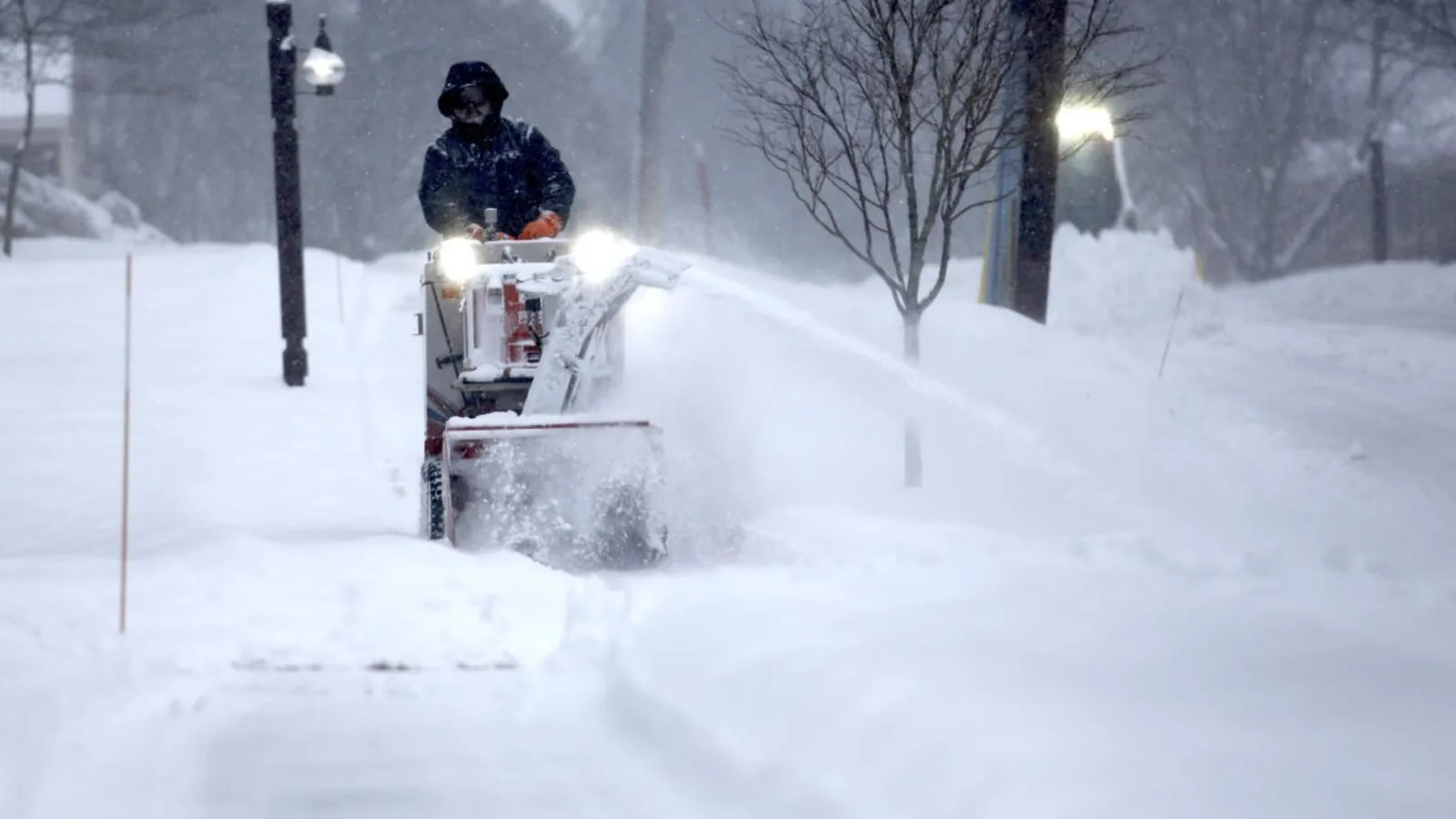
A new storm system is set to arrive in the Middle Atlantic and Northeast on Saturday afternoon and continue into Sunday morning. This storm will bring heavy snow and the possibility of dangerous icing to areas including Virginia, Maryland, Delaware, Pennsylvania, New Jersey, most of New York, and Southern and Southeastern New England.
Today, the Northeast and Northern Mid Atlantic states are experiencing a blustery day. A weather front and upper trough are currently moving through, bringing colder air behind it. As a result, there are some snow showers ahead of the colder air, leading to the possibility of scattered snow shower activity. However, the day will mostly be characterized by cloudy to partly sunny conditions. Throughout the day, temperatures are expected to remain in the middle to upper 30s north of NYC, and in the upper 30s to lower 40s in other areas.
Tonight, the skies will be mostly clear as the winds gradually diminish. Inland areas can expect lows in the upper teens, while the coast and warmer urban areas will experience lows in the low to mid 20s. Moving on to Saturday, we will begin the day with some early sun, but clouds will quickly increase as low pressure moves eastward across the Ohio Valley. Highs for Saturday will only reach the low to middle 30s.
A low-pressure system will move eastward into West Virginia on Saturday night before redeveloping off the Delaware coast. It will then continue on an east-northeast track, passing south of Long Island on Sunday morning. This system is expected to follow a similar pattern to the one we experienced on Thursday. However, this time we have a greater presence of cold air at both the surface and aloft. Additionally, there is a stronger surface and upper air system in place, which will provide more favorable conditions for snow.
Snow will start to develop across Southern Pennsylvania and Southern New Jersey by midday on Saturday. It will then reach NYC by mid to late afternoon, and Southern New England in the late afternoon and evening. While Southern areas across Pennsylvania into Central and South Jersey will transition to sleet and freezing rain (rain at the coast), a significant amount of snow is expected to fall Saturday evening in the Hudson Valley, Long Island, and Southeast New England. There is uncertainty about whether the transition to sleet will occur in areas such as New Jersey around Interstate 78, as well as NYC and Long Island.
In general, my snowfall predictions align with the National Weather Service for inland areas and those to the north. However, when it comes to coastal regions, I’m taking a more cautious approach. As of now, I am estimating lower snowfall amounts for New York City and Long Island. On the other hand, areas in Pennsylvania and New Jersey could potentially face a significant icing situation. In some places, ice accumulation could reach a quarter of an inch or even over half an inch. As for temperatures on Saturday night, they will range from 27 to 34 degrees Fahrenheit while the precipitation persists. This weather system will gradually move away early Sunday morning, leading to improving conditions later in the day with temperatures in the 30s. Looking ahead, the stormy weather pattern will persist into next week, with another chance of snow expected on Tuesday and Wednesday, followed by another potential snowfall towards the end of the week.