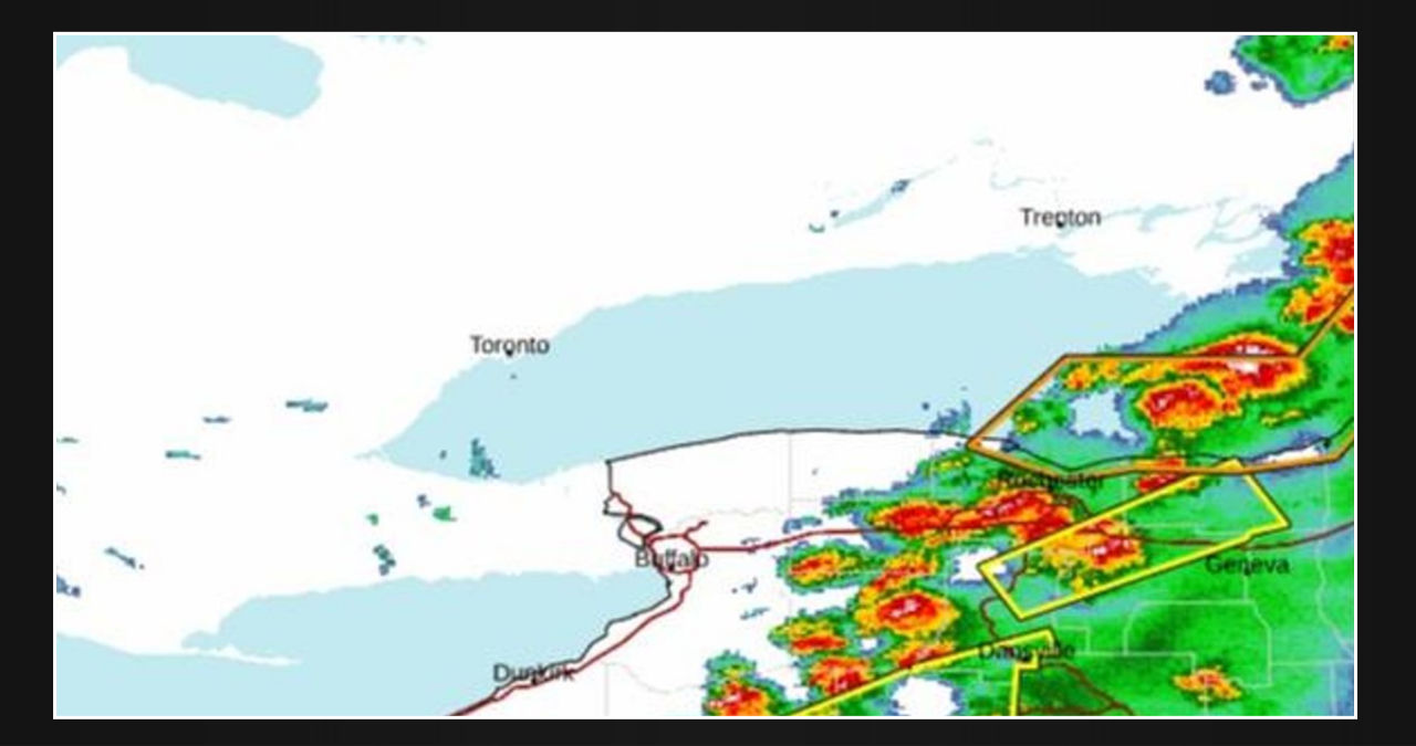
Good evening, everyone. As expected, strong-to-severe thunderstorms have begun to hit regions of western New York and Pennsylvania. For a long time, the accuracy of the forecast was not promising, as the front appeared to be dry; however, thunderstorms exploded across the forecast area.
A fragmented line of isolated cells and clusters of severe thunderstorms extends from western and central New York through western and central Pennsylvania to southeast Ohio. Witnesses have reported seeing quarter-sized hail and winds gusting up to 60 mph.
For this reason, the National Weather Service has issued a severe thunderstorm watch for areas of New York, Pennsylvania, and Ohio until 11 p.m. ET on the watchbox’s most eastern edge. Severe thunderstorm warnings are in effect until 8:30 p.m. in New York counties such as Wayne, Wyoming, and Livingston.
Prepare for locally severe winds, frequent lightning, heavy rain, huge hail, and the possibility of an isolated tornado. At this time, the major risk is damaging winds and huge hail.


Leave a Reply