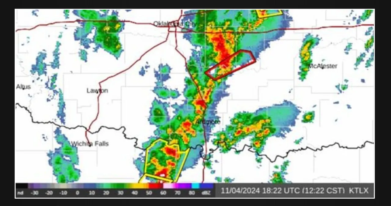
Good afternoon, everyone. As predicted yesterday and this morning, we are witnessing a large region of heavy showers and thunderstorms fueling up and intensifying with the assistance of the afternoon sun working the atmosphere.
We have a short line of strong to severe thunderstorms that runs from southeast Kansas, through eastern and central Oklahoma, and into northeast Texas. Ahead of that powerful line, we are seeing scattered heavy showers and thunderstorms across the extreme northeast corner of Texas, western Arkansas, and a large portion of Missouri.
Some of these storms have previously produced huge hail, devastating winds, frequent lightning, heavy rain, and radar-indicated rotation. The National Weather Service has issued a tornado watch for northeast Texas and central/eastern Oklahoma until 6:00 p.m. CST.
We expect these watches to become more widespread as the storms move east/northeast, eventually reaching the Texas Gulf Coast and parts of Louisiana. Overnight and tomorrow, we expect the long-duration event to spread severe weather from west to east across the region.


Leave a Reply