
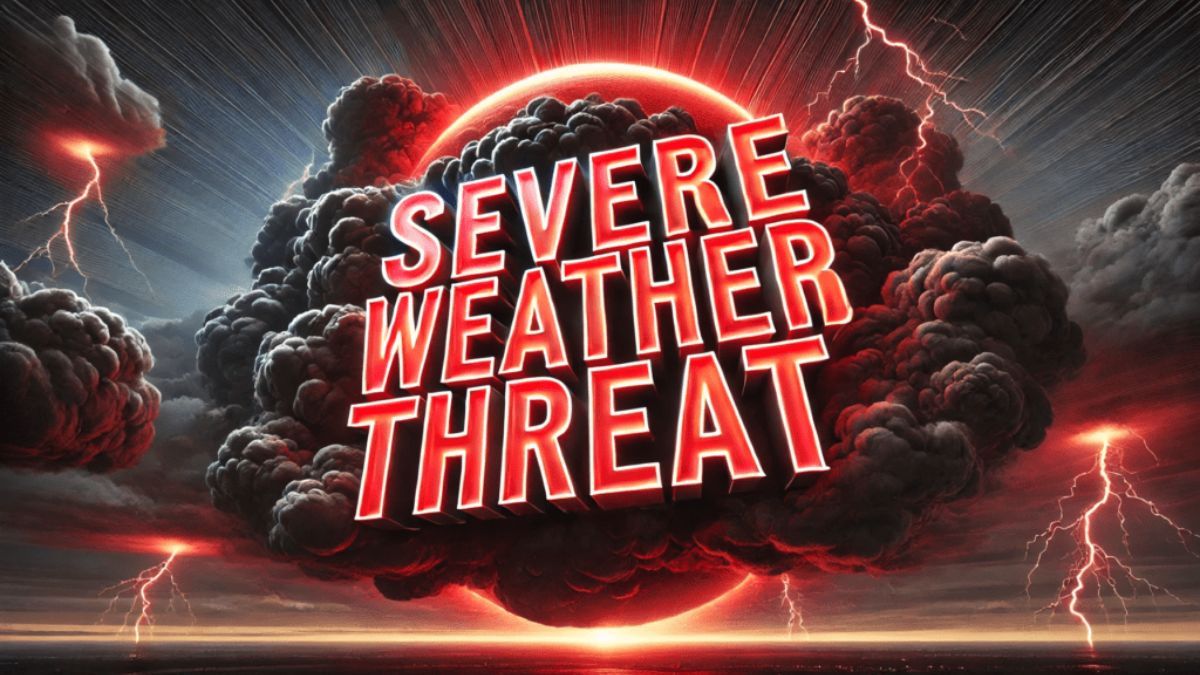
Residents in Central Illinois are being braced to expect many rounds of showers and thunderstorms beginning Thursday night, with the most severe conditions anticipated for Friday evening and Saturday.
Storms are expected to occur intermittently over the weekend, with Friday night offering the greatest hazard. Some of these storms may become severe, producing giant hail and devastating wind gusts. Scattered showers will occur overnight Thursday, with lows ranging from 47 to 52 degrees. A few lingering storms may continue throughout Thursday morning before skies become partly cloudy and windy.
By Friday, high temperatures will be in the mid-80s, generating unstable air conditions conducive to storm development by late afternoon and evening. Predictions indicate that areas south of Interstate 72, such as Taylorville and Effingham, will be most vulnerable.
Residents are encouraged to secure outdoor objects, charge electronic devices, and stay up to date on NOAA Weather Radio or local advisories. When traveling, be weather-aware and avoid flooded roads or low-visibility areas. Historically, April storms in Illinois have posed similar risks, particularly with significant temperature fluctuations and fast-moving systems. The threat may remain until early Saturday morning until conditions progressively improve.